
Montana Historic Roadways
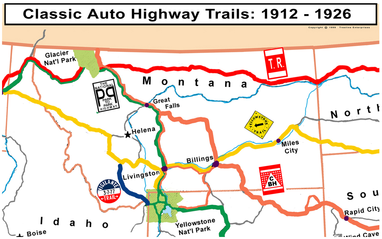
Before highways were given numbers, community leaders bestowed names upon roads. Roads were named for the places they connected, for political or military leaders, and for local landmarks or historical figures. A few trails achieved national fame, and helped adventurous people get from coast to coast. Others served at a localized level, showing drivers the way from place to place. Most were promoted for commercial purposes to attract travelers to businesses along the route.
Trails made use of colored signs and symbols painted or posted on telephone poles along the route. Most of the designs were simple, but they made following rural cowpaths a little easier for travelers. To complicate matters, several routes often followed the same roads.
The United States Congress approved a plan for numbering all major roads in the country in 1926, and the markers soon were replaced by thousands of black and white metal shields, thus closing a colorful chapter in North American transportation history. The routes listed below include almost all of the named routes in Montana before 1926. Only the more important or interesting ones have been plotted above, they are all documented below.
 |
From Portland Maine, New Hampshire, Vermont, New York, Ontario, Michigan,
Wisconsin, Minnesota, N Dakota, Culbertson - Wolf Point - Glasgow - Havre - Shelby - Cut
Bank - Columbia Falls - Kalispell - Libby Montana, Idaho, Washington, to Portland Oregon This roadway became US 2 |
 |
A great circle including, Mount Rainier,
Glacier, Yellowstone, Rocky Mountain, Mesa Verde, Grand Canyon, Zion,
Sequoia, Gen. Grant, Yosemite, Lassen, Crater Lake |
 |
From Plymouth Rock Massachusetts, New York, Pennsylvania, Ohio, Indiana,
Illinois, Wisconsin, Minnesota, S Dakota, Baker - Fallon - Miles CIty - Billings - Livingston -
Bozeman - Butte - Deer Lodge - Missoula Montana, Idaho, to Puget Sound
Washington This roadway became US 12, now it follows Interstate 94 and 90 |
 |
Entirely within Montana: Connecting West Yellowstone, Ennis, Virginia City, Twin Bridges, Silver Star, Butte |
 |
From Des Moines Iowa,
South Dakota, Wyoming, Wyola - Crow - Hardin - Billings - Lewistown - Great Falls -
to Glacier Montana |
 |
From Chicago Illinois, Wisconsin, Minnesota, N Dakota, Glendive - Billings - Livingston - Helena - Missoula Montana, Idaho, to Seattle Washington |
 |
Entirely within Montana: Connecting Glendive, Lindsay,
Circle, Jordan, Sand Springs, Mosby, Grass Range, Forest Grove, Lewistown,
Armington This roadway is a major part of the eastern portion of Montana 200 |
 |
From Seattle WA, Glacier - Havre - Glasgow - Montana, N Dakota, Minnesota, Iowa, Missouri, Illinois, Kentucky, Tennessee, Mississippi, Alabama, to Jacksonville Florida |
 |
Entirely within Montana: Connecting Forsyth, Roundup,
Harlowton, White Sulphur Springs
|
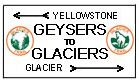 |
Entirely within Montana: Connecting Yellowstone Park, Three Forks, Helena, Choteau, Glacier Park |
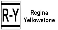 |
From Regina Saskatchewan, Whitetail - Flaxville - Poplar - Richey? - Circle - Brockway - Terry - Livingston Montana, to Yellowstone Park in Wyoming This is a
true back-roads trail, a 1920's map might help trace it |
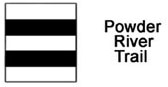 |
From Moose Jaw Saskatchewan, Scobey - Waska - Volt -
Wolf Point - Circle - Brockway - Terry - Miles City - Broadus - Moorehead
Montana, across Wyoming to Colorado Springs Colorado. This is a true back-roads trail, a 1920's map might help trace it |
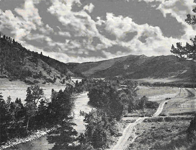 |
Gallatin Way was an important road from Bozeman to West Yellowstone. It apparently had no marker, but the photo is a very early one of the road near Spanish Creek south of Bozeman and is typical of early roadways throughout the US |
 |
Billings - Warren Montana, Powell - Cody Wyoming Could this road have gone Billings - Belfry Montana, Cody Wyoming? |
 |
From Banff Canada, St Mary - Choteau - Great Falls - Helena - Butte - Twin Bridges - Dillon Montana, to Grand Canyon Arizona |
 |
From Glacier - Choteau - Great Falls - Ryegate - Billings - Warren Montana, Wyoming, Colorado, on to Amarillo Texas |
 |
From Calgary Canada - Glacier - Great Falls - Ryegate - Billings - Lovell - Denver - Armarillo - Brownsville Texas, branch to Galvaston. Thanks to Rob Easterling, Santa Fe, New Mexico for the photo from a Billings Montana building. |
Several additional roadways in Montana
were named, some even after 1926, but didn't evolve as major
traveled highways and no particular information is available regarding their
paths or markers. These include:
Black Trail, Old Forts Trail, Skalkaho Highway,
Sunshine Trail, Beartooth Trail, Black
and White Trail, and Clarks
Fork Highway. There are surely others not
mentioned. If anyone has a trail
marker design that is not included
above please send it to the Webmaster.